12 Swimming Holes in California Worth the Drive
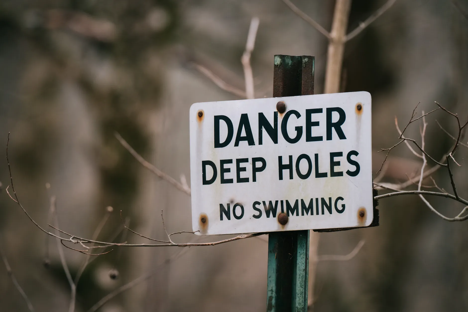
A public riverbank is not automatically a swimming area, and a hot spring on public land is not automatically open today. Our preference is for places with an identifiable entrance and a responsible park agency or operator — not an enticing map pin reached across somebody’s property.
These swimming holes in California include river beaches, reservoir shores, an alpine lake and thermal pools. The hot springs are for soaking rather than swimming lengths. Use the California swimming directory to explore the wider state, then check the individual destination’s rules before setting out.
Current-status limitation: Live openings, fees, reservations and health advisories have not been checked for this guide. Last live check: not performed. No dated official water-quality results are included below; that does not mean testing never takes place. Each entry identifies the agency or operator to consult. Distances are approximate road distances from the named reference town, not precise navigation instructions.
Choose the water before choosing the drive
| Type of outing | Places in this guide | What should decide the trip |
|---|---|---|
| River beach | Johnson’s Beach, Bridgeport, Richardson Grove, Sentinel Beach | Current, runoff, submerged obstacles and posted swimming restrictions |
| Lake shore | Folsom Lake, Lake Natoma, Millerton Lake, Donner Lake | Designated swimming access, water level, wind and boat separation |
| Managed hot spring | Wilbur Hot Springs, Sierra Hot Springs | Booking availability, admission and pool-specific rules |
| Undeveloped hot spring | Travertine, Wild Willy’s | Road access, temporary closures, water temperature and limited facilities |
12 California swims and soaks worth considering
1. Johnson’s Beach, Guerneville
Access: Privately operated beach welcoming public visitors; seasonal opening and admission are operator-controlled. Check the operator’s current calendar and charges before travel. Location: Central Guerneville, within roughly 1 mile of the town centre. Water: Russian River.
This is the Russian River choice for a recognisable beach entrance rather than an improvised scramble down a bank. Its position in town makes it a practical stop on a Sonoma County trip, without adding a remote trailhead to the day.
The trade-off is that access depends on the beach operator, not simply on reaching Guerneville. Rain, reservoir releases and seasonal runoff can change depth and current. Stay within the permitted recreation area rather than following informal paths onto neighbouring property.
Official water quality: No dated inland-water result is included here. Check Sonoma County health notices for Russian River sewage-spill and harmful-algal-bloom advisories, alongside the beach’s operating notices.
2. Bridgeport, South Yuba River State Park
Access: Public California State Parks land; swimming depends on conditions, signs and current restrictions. Parking and day-use rules apply; check the current fee schedule. Location: About 10 miles north of Penn Valley. Water: South Yuba River.
Bridgeport earns its place for the combination of established park access, river beaches and the covered-bridge setting. It is a more useful starting point than a vague recommendation to “swim the Yuba,” which says nothing about where entry is legal.
The granite channels are also the reason to be cautious. Water funnels between rocks, and a quiet-looking pool can have powerful flow beneath the surface. Late summer generally brings lower, warmer water than spring runoff, but it does not remove entrapment hazards. Do not jump from the bridge or use a pool’s appearance as a depth check.
Official checks: Consult South Yuba River State Park for access restrictions and river warnings. No dated, location-specific official swimming-water result is included in this guide.
3. Folsom Lake, Granite Bay area
Access: Public state recreation area; use designated swimming beaches. Vehicle day-use fees apply, and facilities can be seasonal. Location: The Granite Bay recreation entrance is roughly 10 miles northwest of central Folsom. Water: Reservoir.
Folsom Lake is a practical choice when a developed beach matters more than a secluded pool. The important distinction is between a designated swimming area and any convenient piece of shoreline: boat channels, launch ramps and intake structures are not substitutes for a beach.
Reservoir levels reshape this outing. A shoreline photographed in one season may involve a much longer walk — or no usable beach — during another. Check the specific recreation unit rather than relying on a general statement that Folsom Lake is accessible.
Official checks: Use Folsom Lake State Recreation Area for beach access, fees and closure notices. No dated official result for this swimming area is included here; a result elsewhere on the reservoir would not describe this beach.
4. Lake Natoma, Nimbus Flat
Access: Public access within Folsom Lake State Recreation Area; swim only where designated and permitted. State Parks day-use charges apply. Location: Nimbus Flat is approximately 6 miles southwest of central Folsom. Water: Reservoir on the American River.
Lake Natoma belongs on the list separately from Folsom Lake because it offers a different outing: a narrower body of water shared with rowing and paddling activity. The attraction is an established recreation setting close to town, not an invitation to swim across training lanes.
Use the marked swimming area and respect separation from watercraft. Do not continue towards dams, diversion structures or channels simply because the surface looks manageable. Its place in a managed recreation area does not make every stretch suitable for immersion.
Official checks: Consult Folsom Lake State Recreation Area for Nimbus Flat opening, fees and local restrictions. No dated official Lake Natoma swimming-water result is included here; do not substitute a Folsom Lake result.
5. Richardson Grove State Park
Access: Public state park with river access; swimming is condition-dependent and not lifeguarded. Check current day-use charges and access restrictions. Location: Approximately 7 miles south of Garberville. Water: South Fork Eel River.
Richardson Grove is the North Coast detour for combining a river visit with a redwood setting. The signed park entrance gives a clear legal route to the river, unlike roadside pullouts that may lead across private land.
Summer water can be more approachable than snow-fed Sierra rivers, but that is not a safety rating. Submerged logs, uneven depth and changing current still matter. Make the swimming decision at the river, not while looking at the weather forecast in Garberville.
Official checks: Check Richardson Grove State Park for access notices and Humboldt County health information for Eel River advisories. No dated official result for the park’s river access is included here.
6. Sentinel Beach, Yosemite Valley
Access: Public national park recreation area; river entry depends on Yosemite’s current rules and conditions. Park entrance charges and any applicable entry reservations are separate from swimming permission. Location: Roughly 2 miles west of Yosemite Village. Water: Merced River.
A sandy river beach inside Yosemite Valley is an appealing alternative to turning every park day into a long hike. Sentinel Beach makes sense as a designated recreation destination, but the mountain backdrop should never distract from what the Merced is doing.
Cold snowmelt and strong current can make river entry dangerous even on a hot afternoon. Do not count on lifeguard service. Waterfalls, submerged rocks and fast channels rule out many Yosemite swimming ideas, and public hiking access elsewhere in the park does not imply swimming permission: Hetch Hetchy Reservoir prohibits swimming.
Official checks: Read Yosemite’s water-safety guidance and current park alerts. No dated official Sentinel Beach water-quality result is included here.
7. Millerton Lake State Recreation Area
Access: Public state recreation area; use permitted swimming shoreline and obey beach closures. Day-use fees apply and vary by entrance. Location: Approximately 25 miles northeast of central Fresno, depending on the entrance. Water: Reservoir.
Millerton is a useful Fresno-area choice when the aim is a developed lake outing rather than a snowmelt-river expedition. Its day-use areas, campgrounds and shoreline facilities make it easier to plan the land-based part of the visit.
The compromise is shared reservoir use. Choose a swimming area away from boat launches and navigation routes, and never enter near dams or intake structures. Water levels affect the shoreline, so an old beach photograph is not a reliable guide to the walk or entry.
Official checks: Consult Millerton Lake State Recreation Area for entrance fees, beach access and advisories. No dated site-specific official swimming-water result is included here.
8. Donner Memorial State Park, Donner Lake
Access: Public state park with a designated beach area; parking fees and capacity limits apply. Some facilities operate seasonally. Location: Approximately 3 miles west of downtown Truckee. Water: Alpine lake.
Donner is our choice here for a mountain-lake visit without a long approach on foot. The park provides a defined public entrance and beach access close to Truckee, making it a practical stop rather than a backcountry commitment.
Keep the ambition proportionate to the temperature. Alpine water can trigger cold shock, and afternoon wind can turn a comfortable near-shore outing into a difficult return. A short dip beside a reachable exit is a different proposition from crossing open water.
Official checks: Use Donner Memorial State Park for seasonal facilities, parking and closures. No dated official result for the swimming beach is included here.
9. Wilbur Hot Springs
Access model: Book ahead; private retreat admitting paying visitors under its reservation and bathing rules. Check admission, availability and maintenance closures directly. Location: Approximately 22 miles west of Williams, in Colusa County. Water: Geothermal mineral-water soaking pools.
Wilbur is for readers who want a thermal-water experience without making an undeveloped dirt-road pool the centre of the trip. The distinction matters: this is managed, paid soaking, not a free natural swimming hole.
The booking is part of the outing, not an optional extra. Check pool rules before paying, and take heat exposure seriously. Hot soaking can increase dehydration and heat stress; alcohol, certain medications, pregnancy and cardiovascular conditions can alter the risk.
Official water quality: No dated public-health pool result is included here. Consult Wilbur Hot Springs for current operating notices; a coastal beach-monitoring result would not describe these pools.
10. Sierra Hot Springs, Sierraville
Access model: Book ahead; nonprofit retreat with paid day-use and lodging options governed by its calendar. Check current admission and availability. Location: Approximately 2 miles southeast of Sierraville. Water: Geothermal soaking pools.
Sierra Hot Springs suits a northern Sierra itinerary when a managed soak is preferable to another cold-water swim. Day-use options make it worth considering without assuming that an overnight stay is required.
Its retreat rules deserve as much attention as the reservation calendar. Policies cover nudity, photography, children, alcohol and individual pool use. Read them before booking rather than arriving with the expectations of a public lake beach.
Official water quality: No dated public-health result for the individual pools is included here. Check Sierra Hot Springs for maintenance notices, pool availability and admission conditions.
11. Travertine Hot Springs, Bridgeport
Access: Public Bureau of Land Management land; road conditions and temporary orders control access. No operator booking system is identified; check current access and any charges with BLM. Location: Approximately 3 miles south of Bridgeport. Water: Undeveloped geothermal pools.
Travertine is the short-detour choice for a natural soak near Bridgeport. Its mineral formations are part of the attraction, but they are not durable pool furniture: avoid walking on fragile edges or altering channels to change the temperature.
Individual pools can be dangerously hot, and temperature varies. Do not step straight in or assume that a pool used by somebody else will suit you. The unpaved approach also makes weather relevant well before you reach the water.
Official checks: Consult BLM’s Travertine Hot Springs information for restrictions. No routine official swimming-water testing is identified in the supplied information, and no dated result is included here. Visual clarity does not establish water quality.
12. Wild Willy’s Hot Springs, near Mammoth Lakes
Access: Public BLM-area spring; weather, road conditions and temporary closures govern entry. Check current access and any charges before travelling. Location: Approximately 20 miles southeast of Mammoth Lakes. Water: Undeveloped geothermal soaking pools.
Wild Willy’s belongs on an Eastern Sierra itinerary for its undeveloped soaking setting, not for dependable year-round access. The drive is part of the decision: a destination close to a paved highway on a map can still become inaccessible along its final dirt-road approach.
Snow, storms and mud can stop the trip, and a high-clearance vehicle does not override a closure or make a damaged road passable. At the pools, enter cautiously and leave if you feel dizzy or overheated. Do not use soap or modify the water channels.
Official checks: Consult BLM’s Wild Willy’s Hot Springs information for access restrictions. No dated official bathing-water result is included here; natural thermal water can contain hazards that are not visible.
The checks that matter before getting in
California’s Department of Water Resources identifies spring and early summer as periods when Sierra snowmelt can rapidly raise streamflows. Warm air does not mean warm river water. The National Park Service warns that cold water, strong currents, submerged obstacles and changing conditions can make apparently calm river locations dangerous.
- For river beaches: Check flow warnings and posted restrictions. Identify an easy exit before entering. Avoid waterfalls, narrowed rock channels, submerged branches and undercut banks. A life jacket does not make hazardous current suitable for swimming.
- For lakes: Use designated swimming areas, stay out of launch lanes and watch for increasing wind. A reservoir’s changing level can alter both the beach and the return route.
- For hot springs: Check road access and pool rules, then assess temperature cautiously. Never submerge your head in an undeveloped thermal pool or rely on clear water as evidence of sanitation.
- For water-quality warnings: Check the relevant county health department and California’s Harmful Algal Blooms Portal. Follow posted advisories and avoid water with scum, mats, unusual discolouration or dead fish.
- For legal entry: Use signed public entrances or the private operator’s authorised access. A full car park does not create permission to park illegally, cross private land or use a closed route.
California State Parks advises swimming only in designated areas where lifeguards are present, never swimming alone and avoiding alcohol. Several places above have no lifeguards; public access is not a safety guarantee. Swimming outdoors is at your own risk, and turning back is the right decision when current, temperature, access or advisories rule out the visit.
For another destination, return to the California swim guides rather than assuming a nearby river or shoreline has the same rules. Report changed entrances, closures or booking requirements to Wild Swim Atlas, including the date and the responsible agency’s notice where possible.