12 Lake District Wild Swimming Lakes and Tarns
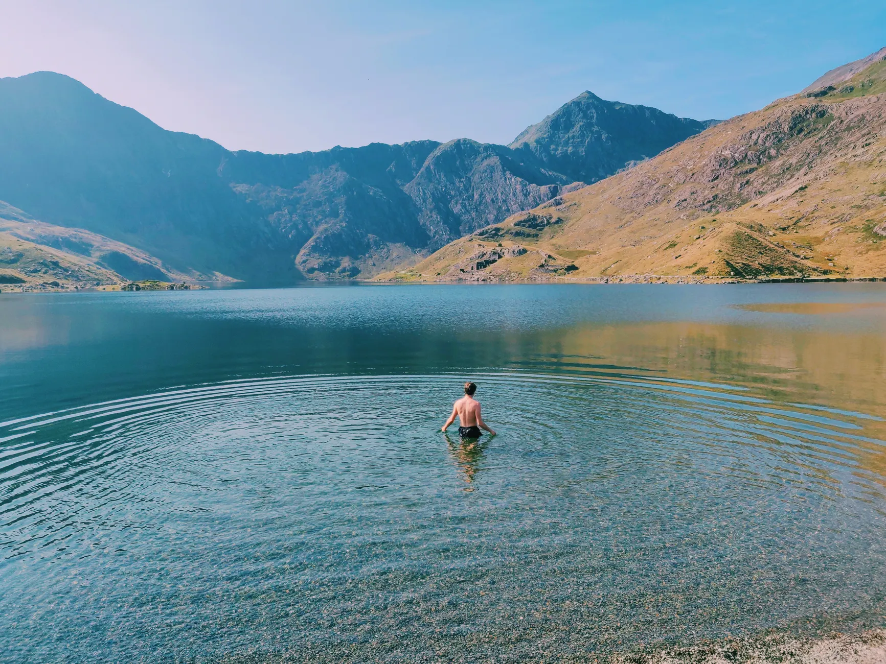
Swimming access is site-specific, not lake-wide. Start with a public-access shore, check that swimming is permitted at that entry, and read the signs before unloading your kit. Most informal swims need no booking, but parking charges, seasonal facilities and local restrictions still apply. A pin on a map is not permission to swim.
Our preference is straightforward: choose a usable exit over a dramatic backdrop, and a short shoreline swim over a crossing through boat traffic. This list puts practical lakeside access first, then includes two mountain tarns where the walk and the return journey are part of the decision.
Access information reference date: October 2026. Today’s opening, signs, parking charges and pollution alerts have not been checked live. No dated water-quality sample results are reproduced here. Use the Environment Agency’s bathing-water profiles for individual designated sites; a result for one beach must not be applied to an entire lake. Where routine official bathing-water testing is absent, that is stated below.
Category: Guides. For more location-specific planning, use our Lake District swimming directory alongside the landowner’s current access information.
Compare the 12 swimming destinations
Distances below are approximate approaches from the named town or village, not swimming distances. “Restricted” means suitable public-access entries exist, but neither the whole shoreline nor every activity is open to everyone.
| Destination | Access position | Reference location and approach | Main consideration |
|---|---|---|---|
| Windermere | Restricted; Fell Foot has seasonal facilities | Fell Foot, about 2 miles north of Newby Bridge by road | Heavy boat traffic |
| Ullswater | Restricted to suitable shore entries | Glenridding, lakeshore beside the village | Steamer piers and approaches |
| Derwentwater | Restricted to suitable public-access shores | Keswick, about ½ mile to the northern shore on foot | Passenger launches |
| Coniston Water | Restricted; public access at Monk Coniston | About 1 mile from Coniston village | Launches and watersports |
| Buttermere | Restricted to lawful shoreline entries | About ½ mile from Buttermere village on foot | Private land and livestock access |
| Crummock Water | Restricted to lawful shoreline entries | About 1 mile from Buttermere village on foot | Uneven banks and limited facilities |
| Loweswater | Restricted; estate access conditions apply | Watergate Farm approach, near Loweswater village | Parking and land-management rules |
| Ennerdale Water | Restricted to lawful shoreline entries | About 2 miles from Ennerdale Bridge to western access | Remote shore and limited facilities |
| Wastwater | Restricted to public-access shoreline | About 3 miles from Gosforth to the southwestern lake | Steep entries and deep, cold water |
| Rydal Water | Restricted; mixed shoreline ownership | About 2 miles from Ambleside on foot | Limited lawful entry points |
| Stickle Tarn | Public walking approach; local water-access rules apply | About 1½ miles uphill from New Dungeon Ghyll | Steep mountain approach |
| Easedale Tarn | Public walking approach; local water-access rules apply | About 2½ miles uphill from Grasmere | Rocky route and exposed conditions |
The lakes and tarns
1. Windermere — choose an entry, not just a lake
Status: restricted; seasonal facilities at Fell Foot. The National Trust’s Fell Foot provides public access at the southern end, roughly 2 miles north of Newby Bridge. Check its opening arrangements and parking charges; access to the park does not authorise swimming through launch areas or from every part of its waterfront.
At approximately 17 km long and up to 67 m deep, Windermere offers scale without requiring a long-distance swim. Its practical advantage is the choice of established visitor sites. Its drawback is traffic: Windermere Lake Cruises, hire boats, sailing craft and paddlecraft all share the water. Keep close to a permitted shore, clear of jetties, moorings, ferry routes and launch approaches.
The approximately 10.5-mile Windermere One Way event is a supported endurance swim, not a model for an unsupervised outing. Official water quality: consult the Environment Agency record for the specific bathing site; no dated sample result is given here, and no single result describes the entire lake.
2. Ullswater — village access with steamer traffic
Status: restricted to suitable public-access shores. Glenridding offers lakeside access beside the village; Pooley Bridge is another established starting area. Neither gives blanket permission along neighbouring private waterfronts. Parking charges depend on the car park, and ordinary informal swimming is not a booked session.
Ullswater is approximately 11.8 km long. Its appeal is the combination of village access and a substantial mountain lake, but a convenient shore can also be a working waterfront. Ullswater Steamers serves several piers: stay out of landing approaches and do not cross a vessel’s route. Choose an entry well away from the pier rather than treating a gap between sailings as a swimming window.
Official water quality: no dated Environment Agency sample result is provided here. Check site-specific official records and local notices rather than assuming that water elsewhere on Ullswater has the same conditions.
3. Derwentwater — a practical option from Keswick
Status: restricted to suitable public-access shores. The northern lakeshore is roughly half a mile on foot from Keswick. Public and National Trust access exists around the lake, but jetties, launch areas and locally restricted sections remain outside that invitation. Town and lakeside parking may carry charges.
Derwentwater earns its place through convenience: a swim need not involve a remote valley drive or a mountain approach. The lake is about 5 km long and 1.5 km wide, yet the useful choice is usually a short route beside an accessible shore. Keswick Launch calls at multiple landing stages, so a quieter-looking bay still needs checking for boat approaches and turning space.
Official water quality: no dated official bathing-water result is included here. Check the Environment Agency’s individual site records where applicable, plus National Trust and local notices at the intended entry.
4. Coniston Water — public access at Monk Coniston
Status: restricted; use suitable public-access entries. National Trust land at Monk Coniston provides access near the northern end, approximately 1 mile from Coniston village. Check the current parking tariff and keep away from launch infrastructure and signed watersports areas.
Coniston Water is approximately 8 km long. Monk Coniston makes it a useful alternative to starting among the activity around Waterhead, but it is still a shared lake rather than a swimming enclosure. Coniston Launch operates passenger services: avoid landing stages and their approaches, including when no boat is immediately visible.
Official water quality: no dated official sample result is reproduced here. Use site-specific Environment Agency information where available; do not extend a bathing-site result across the full length of Coniston Water.
5. Buttermere — a walkable shore, with boundaries
Status: restricted to lawful shoreline entries. Public walking access reaches the lake roughly half a mile from Buttermere village. The circuit path does not create permission to enter every field or use every bank. Village parking may be charged; there is no staffed public swimming beach.
About 1.2 miles long, Buttermere suits swimmers who want to inspect their entry and exit on foot before changing. That is its strongest practical feature. Choose an established lawful entry, leave livestock drinking areas clear, and avoid fences or gates that would become difficult obstacles when cold after a swim.
Official water quality: no routine Environment Agency bathing-water classification is available for the lake in the October 2026 access information. That is not a water-quality pass or fail.
6. Crummock Water — more space, fewer conveniences
Status: restricted to lawful public-access entries. The southern end is around 1 mile on foot from Buttermere village, depending on the route. Public paths reach sections of shore, but there is no single lake-wide swimming facility. Parking conditions depend on the starting point.
Crummock Water is approximately 2.5 miles long and has less scheduled passenger traffic than Windermere or Derwentwater. That makes it worth considering for a shore-based swim, not a reason to stop looking for other water users. Inspect banks carefully: steep ground, unstable edges and livestock access can make an apparently convenient entry a poor exit.
Official water quality: no routine Environment Agency bathing-water classification is available in the October 2026 information. Check for local pollution or algal warnings before entering.
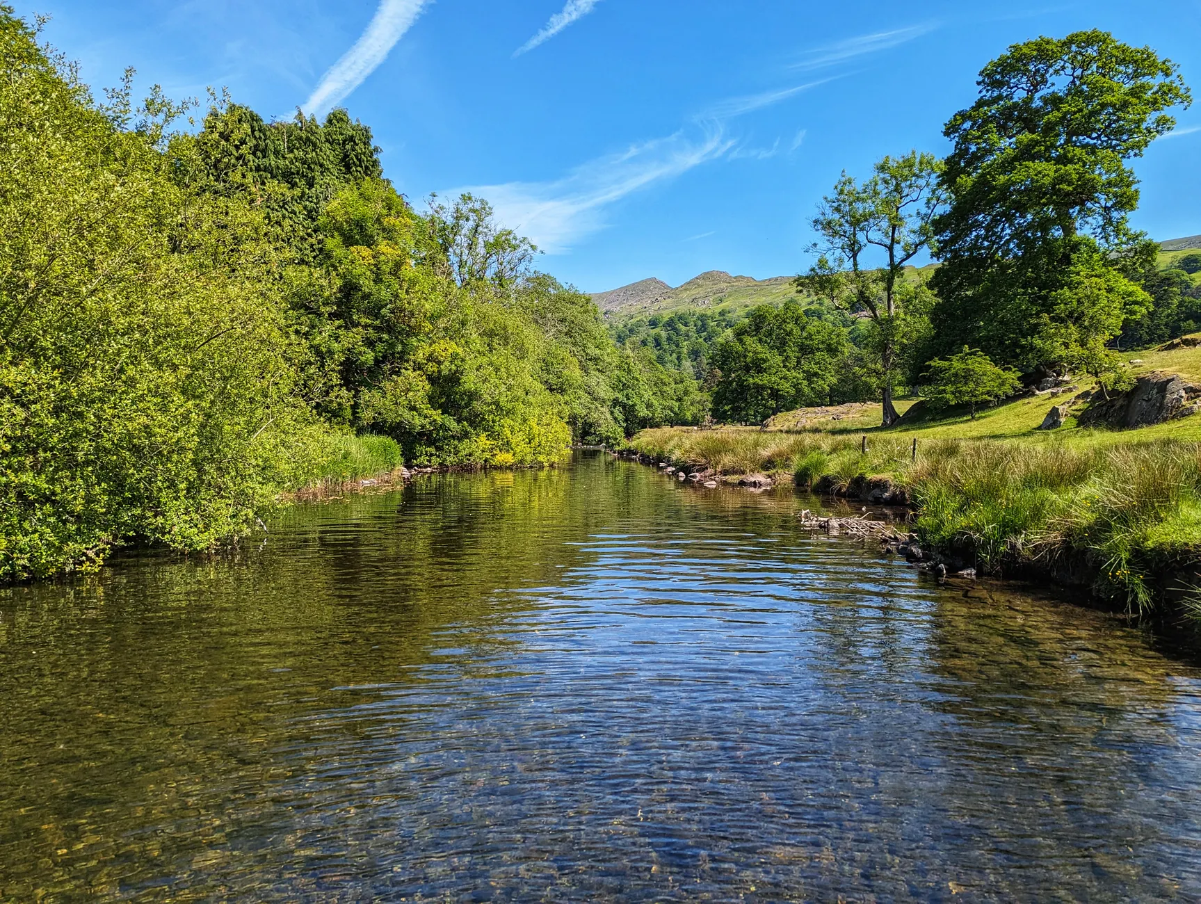
7. Loweswater — a smaller lake with estate access rules
Status: restricted; seasonal land-management conditions may apply. Public access includes National Trust land around Watergate Farm, near Loweswater village. Check the permitted parking and walking approach rather than following a route across farm land. Facilities and parking arrangements can vary.
Loweswater is approximately 1 mile long. Its smaller scale and lack of the major passenger services found on the busier lakes are the reasons to consider it. They do not remove the need to assess wind, entry surfaces and an achievable return to shore. Expect limited facilities rather than a managed swimming venue.
Official water quality: no routine official bathing-water testing is identified in the October 2026 information. Clear-looking water is not a substitute for a dated test.
8. Ennerdale Water — for swimmers prepared to walk
Status: restricted to lawful, accessible shores. Western access is roughly 2 miles from Ennerdale Bridge. Valley roads and public paths provide approaches, including through National Trust land, but vehicle restrictions may lengthen the walk. Check parking arrangements before travelling.
The approximately 2-mile-long lake deserves a place for its quieter valley setting, with a clear trade-off: less infrastructure and a longer journey to help. Choose the swimming entry before committing to a distant stretch of shore. Carry dry layers for the walk back; warming up cannot depend on reaching the car immediately.
Official water quality: no routine official bathing-water monitoring is identified in the October 2026 information. The remote setting does not establish water quality.
9. Wastwater — deep water close to a rugged shore
Status: restricted to public-access shoreline. The southwestern lake is approximately 3 miles from Gosforth by road. Use lawful valley access and designated parking; capacity is limited, and narrow roads must remain clear for emergency vehicles. Local parking controls and charges can change.
Wastwater is approximately 4.6 km long and reaches about 79 m deep, making it England’s deepest lake. That depth is the defining consideration, not a challenge to seek out. Rocky entries can become deep quickly, and cold water persists into summer. Choose a bank you can climb out of with cold hands and tired legs; avoid entering beneath steep scree.
Official water quality: no routine Environment Agency bathing-water classification is available in the October 2026 information. Check current notices before using any entry.
10. Rydal Water — a walking approach from Ambleside
Status: restricted; shoreline ownership is mixed. Public paths reach Rydal Water from Ambleside, approximately 2 miles away on foot, and from the A591 corridor. Stay on established routes and use only lawful entries. Do not cross gardens, fences or private shore to shorten the approach. Parking charges depend on the starting point.
Rydal Water belongs here because it can be combined with a lower-level walk rather than a mountain ascent. Its literary landscape adds interest, but Wordsworth associations are not access rights. Look for a permitted entry with enough space to change without blocking the path, and establish the exit before getting in.
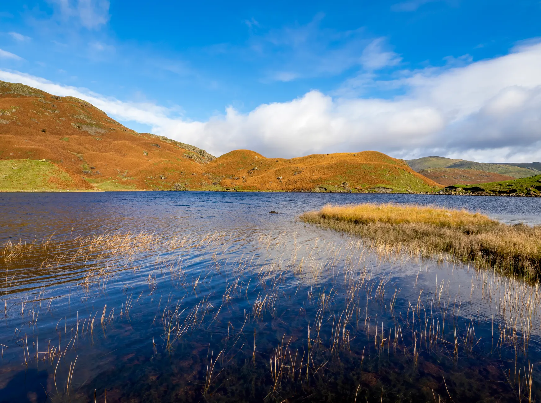
Official water quality: no routine Environment Agency bathing-water classification is available in the October 2026 information. Neither its small size nor its sheltered appearance establishes swimming conditions.
11. Stickle Tarn — a mountain outing before a swim
Status: public walking approach; swimming remains subject to local water-access rules. The route from New Dungeon Ghyll in Great Langdale is approximately 1½ miles uphill over steep, rocky ground. Parking may be charged. There are no swimming facilities, toilets or lifeguards at the tarn.
Stickle Tarn is the choice for walkers who can carry swimming kit without compromising their hill equipment. The approach is the decisive difference from a roadside lake: rain or ice can make the path slippery, and a cold swimmer still has to descend it. Carry waterproofs, navigation and dry insulating layers; abandon the swim if wind, visibility or the return route deteriorates.
Official water quality: there is no routine official bathing-water testing identified for the tarn in the October 2026 information. Public footpath access alone does not create a swimming right; follow local signs.
12. Easedale Tarn — a longer walk from Grasmere
Status: public walking approach; local water-access rules apply. Easedale Tarn is approximately 2½ miles uphill from Grasmere. Use the established mountain route and lawful shoreline access. Village parking may be charged; there is no managed swimming session or safety cover at the tarn.
This is a walking day with an optional swim, not a quick dip between stops. Uneven rock and slippery sections matter both uphill and on the return. Its place on the list rests on that walk-in experience, but the swim should be the first thing dropped if the weather changes or anyone becomes cold.
Official water quality: no routine official bathing-water testing is identified in the October 2026 information. There are no lifeguards or swimming facilities.
Which Lake District waters restrict swimming?
Tarn Hows is closed to swimming. National Trust rules prohibit swimming and other water activities. Its accessible paths and attractive shoreline do not make it a swimming destination.
Haweswater is closed to swimming under reservoir rules. Thirlmere also has water-supply restrictions and must not be treated as an unrestricted swimming lake. Follow United Utilities’ current reservoir rules and signs, not informal swimming accounts.
Bassenthwaite has sensitive wildlife habitat and limited shoreline access. Grasmere, Blea Tarn and Loughrigg Tarn also require entry-specific permission checks. None should be approached on the assumption that a public footpath authorises entry into the water.
Cold water, boats and the decision to get in
- Plan a shoreline route on the busy lakes. On Windermere, Ullswater, Derwentwater and Coniston Water, stay away from passenger-boat approaches, jetties and launch areas. A bright hat and high-visibility tow float improve visibility; a tow float does not replace rescue equipment or make a crossing safe.
- Enter slowly, without diving. The RNLI warns that sudden cold-water immersion can cause gasping and loss of breathing control, including in summer. Establish a straightforward exit before entering.
- Keep the return walk in the plan. At Stickle Tarn, Easedale Tarn and remote western shores, carry dry insulation and waterproofs. Body temperature can continue falling after leaving the water.
- Reassess after heavy rain. Runoff, sewage-overflow risk, water levels and slippery approaches can change together. Avoid scum or discoloured water and obey algal or pollution warnings; a previous bathing-water grade does not describe today’s conditions.
- Do not swim alone. Agree the route and exit with a companion, tell someone where you are going, and carry a charged phone and location information. Mountain terrain can delay rescue and interrupt mobile coverage.
Outdoor swimming is at your own risk. Check the landowner’s current rules, weather and water conditions before entering, and leave the swim for another day if the entry, exit or permission is unclear. Report changed signs or access arrangements through the Lake District directory so location information can be updated.